
PHOTOGRAMMETRY

Photogrammetry drone survey solutions for civil engineering.

Photogrammetry uses methods from many disciplines, including optics and projective geometry. Digital image capturing and photogrammetric processing includes several well defined stages, which allow to generate 2D or 3D digital models of the object as an end product.
Civil engineers and environmental agencies are utilising photogrammetry more and more as it has now become a cost effective survey and monitoring solution. At Spectrum Drone Services we are uniquely placed to provide complete photogrammetry solutions to meet your requirements.
Photogrammetry Using Drone Technology
At Spectrum Drone services we used both multirotor and fixed wing drones for photogrammetry depending on the requirements of the task.

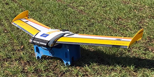
Multirotor
Multirotor drones are more suited to obtaining photogrammetry data of smaller areas or buildings due their compact design and manoeuvrability but suffer from lack of endurance which doesn't make them best suited for larger areas requiring.
Spectrum Drone Services operates different multirotor drone platforms in the photogrammetry role depending on the task requirements.
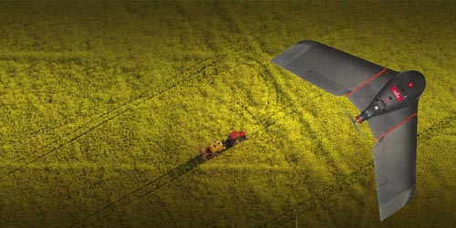
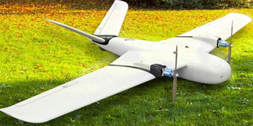
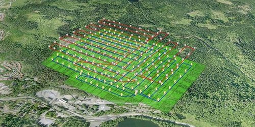
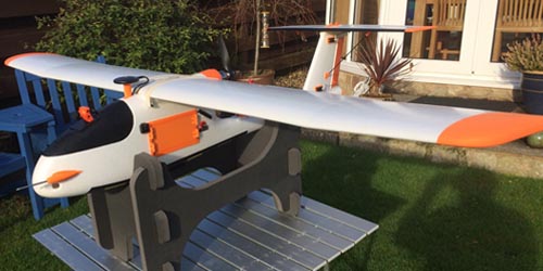
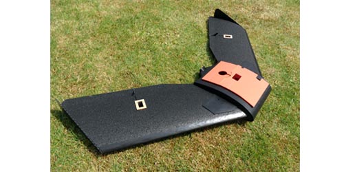
Fixed Wing
To carry out a photogrammetric survey of larger areas a specially equipped fixed-wing drone is required.
At Spectrum Drone Services with our fixed-wing photogrammetry drones we provide one off area surveys to continual monitoring programs. Utilising GPS satellite technology combined with sophisticated software we provide precise data for analysis.
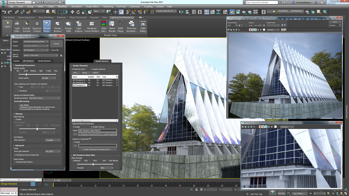
Post Production
Spectrum Drone Services provides its own in-house 3D artist who can assist with the incorporation of acquired 3D photogrammetry data into your existing projects.
We use 3ds Max as our primary 3D CAD software which enables us to produce data in multiple formats and can accommodate animation as well as special effects.

3D Model Making
Having a physical model you can reference or use to incorporate into a new developments opens up new possibilities.
At Spectrum Drone Services we are able to provide an in-house 3D printing and model production service so it is possible to produce a 3D model for study or display.
If you would like to know more on how Spectrum Drone Services can provide you with professional, cost effective photogrammetry solutions please contact us to discuss your requirements.